01
Aerial photography
High-resolution stills planned around useful angles, geography, scale and the final layout.
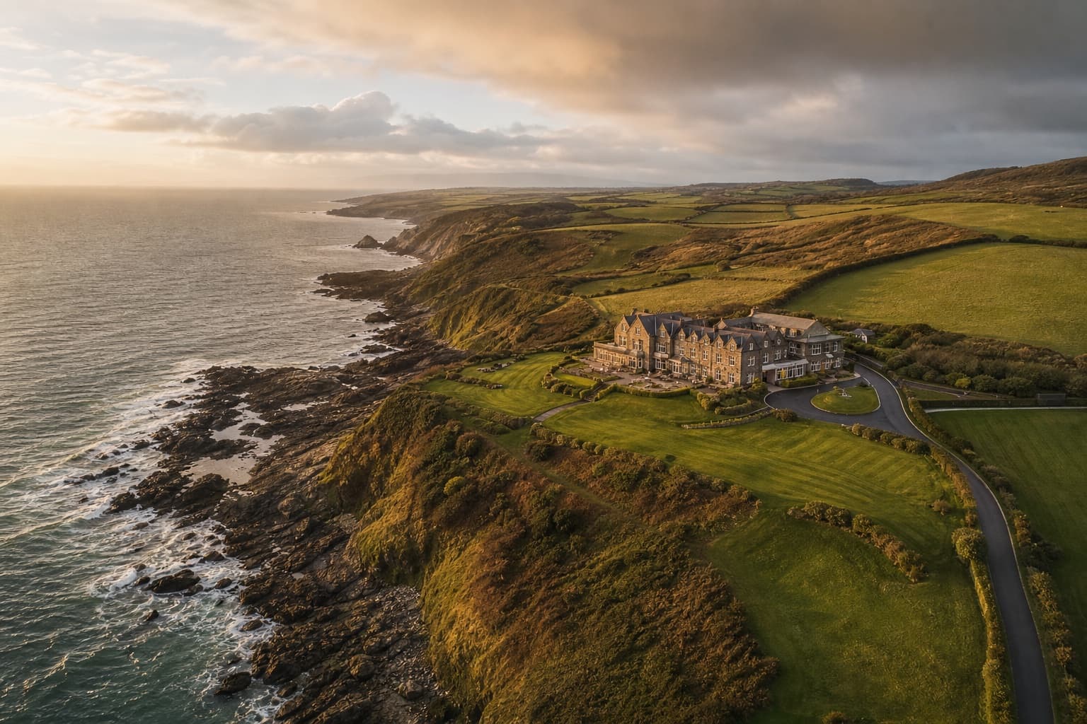
Drone & aerial
A wider view that gives property, place and scale the perspective they deserve.
Plan this shootWhat this work needs to do
Aerial work gives property, landscape and activity their wider context. It is most useful when the viewpoint has a reason: showing an approach, explaining a site, revealing scale or connecting several parts of a story.
Watch the drone & aerial story
A short visual sales story about what matters, how the production works and what the final library can do next.
Browse the gallery
Choose a thumbnail or move through the full-size view. This gallery will grow as approved work is added.
Aerial
From above
1 of 5
Choose the right shape
01
High-resolution stills planned around useful angles, geography, scale and the final layout.
02
Controlled moving sequences for property films, event stories, campaigns and location introductions.
03
A complete visual library combining close human detail with the wider perspective only an aerial view can provide.
A strong fit for
Useful coverage
Before the shoot
01
The exact location and intended flight area
02
Permissions, access and nearby activity
03
Applicable airspace and flight restrictions
04
Weather alternatives and a ground-only fallback
Questions about drone & aerial
No. The location, permissions, weather and applicable restrictions are reviewed before any flight is confirmed.
Yes, when the site and conditions allow. Combining ground and aerial work is often the clearest way to show both human detail and scale.
The plan will make the fallback clear. Depending on the brief, that may mean a revised window, a separate aerial visit or completing the ground coverage without promising footage that cannot be captured safely.
Next service